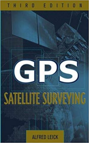
نام کتاب: GPS Satellite Surveying
نویسنده: Alfred Leick
ویرایش: ۳
سال انتشار: ۲۰۰۴
فرمت: PDF
تعداد صفحه: ۴۶۴
انتشارات: Wiley
Description About Book GPS Satellite Surveying From Amazon
The revised and updated authoritative volume on GPS use in surveying
Comprehensive and thorough in its coverage, GPS Satellite Surveying, Third ویرایشis the updated edition of Alfred Leick’s classic introduction to the field. Written to help specialists get the most out of GPS surveying techniques and the resulting measurements, this standard industry reference provides the latest fundamental and cutting-edge material for working with GPS today.
A unique volume in the field, this Third ویرایشoffers an unrivaled presentation of procedures that apply to the Russian GLONASS, the forthcoming European GALILEO, and U.S. GPS satellite systems. New coverage addresses emerging precise-point positioning technology, as well as the most current information on:
- Geodetic reference systems
- GPS modernization
- Least-squares adjustments
- Pseudoranges and carrier phases
- The troposphere and ionosphere
- The LAMBDA technique
- The ellipsoidal and conformal mapping models
GPS Satellite Surveying, Third ویرایشis a dependable, up-to-date reference for surveyors, civil engineers, transportation engineers, geologists, geographers, technicians, and students.
درباره کتاب GPS Satellite Surveying – ترجمه شده از گوگل
حجم معتبر تجدید و به روز شده در استفاده از GPS در نقشه برداری
نقشه جامع و جامع در پوشش آن، GPS ماهواره نقشه برداری، نسخه سوم نسخه به روز شده از مقدمه کلاسیک آلفرد لایک در زمینه است. برای کمک به متخصصان بیشترین استفاده از تکنیک های نقشه برداری جیپیاس و اندازه گیری های حاصل، این مرجع صنعتی استاندارد، آخرین مواد اساسی و پیشرفته برای کار با GPS امروز را فراهم می کند.
حجم منحصر به فرد در این زمینه، این نسخه سوم ارائه می دهد ارائه بی نظیر از روش های که به GLONASS روسیه، GALILEO آینده اروپا و سامانه های ماهواره ای U.S. پوشش جدید آدرس جدید تکنولوژی موقعیت نقطه ای دقیق و همچنین اطلاعات فعلی در مورد:
سیستم های مرجع جیودیزیکی
مدرنیزاسیون GPS
تنظیمات کمترین مربع
خطوط انتقال و فاز حامل
تروپوسفر و یونوسفر
تکنیک LAMBDA
مدل های نقشه برداری بیضوی و سازگار
GPS نقشه ماهواره ای، نسخه سوم، مرجع قابل اعتماد و به روز برای نقشه برداران، مهندسان عمران، مهندسان حمل و نقل، زمین شناسان، جغرافیدانان، تکنسین ها و دانش آموزان است.
[box type=”info”]![]() جهت دسترسی به توضیحات این کتاب در Amazon اینجا کلیک کنید.
جهت دسترسی به توضیحات این کتاب در Amazon اینجا کلیک کنید.![]() در صورت خراب بودن لینک کتاب، در قسمت نظرات همین مطلب گزارش دهید.
در صورت خراب بودن لینک کتاب، در قسمت نظرات همین مطلب گزارش دهید.

