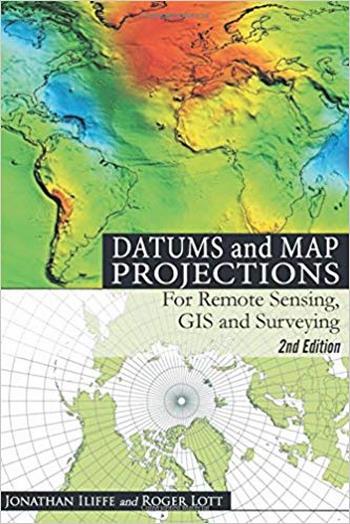
نام کتاب: Datums and Map Projections – For Remote Sensing, GIS and Surveying
نویسنده: J.C. Iliffe
ویرایش: ۲
سال انتشار: ۲۰۰۸
فرمت: PDF
تعداد صفحه: ۴۸۰
انتشارات: Whittles Publishing
Description About Book Datums and Map Projections – For Remote Sensing, GIS and Surveying From Amazon
Over the years since its first appearance, “datums and map projections” has become a key book for many students and professionals around the world. Its theme – a practical guide to coordinate reference systems – is as important now as when it was first published, probably more so when we consider the ever growing use of satellite navigation systems and the introduction of web mapping services such as google earth.while retaining the benefits of the first edition – clear presentation assuming no prior knowledge, a problem-solving approach, practical examples and the combination of gps-derived data with data from other sources – the rewritten and expanded second edition offers very much more:
a different structure to give a better grouping of common themes; greater scope to cover all possible different types of coordinate reference system that are used in mapping and related areas; more examples and case studies from around the world; adoption of the terminology of the iso 19111 standard (spatial referencing by coordinates); and use of colour illustrations. This remains a vital text for students and practitioners in all areas of geomatics – surveying, remote sensing, gis, gps – and much more. Its accessible nature also makes it suitable for anyone with an interest in the subject and its applications.
درباره کتاب Datums and Map Projections – For Remote Sensing, GIS and Surveying – ترجمه شده از گوگل
در طول سالها از اولین نمایش آن، «تاریخ و نقشه های پیش بینی ها» تبدیل به یک کتاب کلیدی برای بسیاری از دانش آموزان و متخصصان در سراسر جهان شده است. تم آن – یک راهنمای عملی برای هماهنگ کردن سیستم های مرجع – همانقدر مهم است که در ابتدا منتشر شد، احتمالا بیشتر زمانی که ما در حال در نظر گرفتن استفاده روزافزون از سیستم های ناوبری ماهواره ای و معرفی سرویس های نقشه برداری وب مانند Google earth.while حفظ مزایای نسخه اول – ارائه روشنی بدون داشتن دانش پیشین، رویکرد حل مسئله، نمونه های عملی و ترکیبی از داده های حاصل از GPS با داده های منابع دیگر – نسخه دوم بازنویسی و گسترش یافته بسیار بیشتر را ارائه می دهد:
یک ساختار متفاوت برای گروه بندی بهتر موضوعات مشترک؛ محدوده وسیع تر برای پوشش همه انواع مختلف سیستم های مرجع مختصات که در نقشه ها و مناطق مرتبط استفاده می شود؛ مثالهای بیشتر و مطالعات موردی از سراسر جهان؛ تصویب اصطلاح استاندارد ISO 19111 (ارجاع فضایی مختصات)؛ و استفاده از تصاویر رنگی. این یک متن حیاتی برای دانش آموزان و تمرینکنندگان در تمام زمینه های ژئوماتیک است – نقشه برداری، سنجش از دور، GIS، GPS – و خیلی بیشتر. طبیعت قابل دسترس آن نیز برای هر کسی که علاقه مند به موضوع و برنامه های کاربردی آن است مناسب است.
[box type=”info”]![]() جهت دسترسی به توضیحات این کتاب در Amazon اینجا کلیک کنید.
جهت دسترسی به توضیحات این کتاب در Amazon اینجا کلیک کنید.![]() در صورت خراب بودن لینک کتاب، در قسمت نظرات همین مطلب گزارش دهید.
در صورت خراب بودن لینک کتاب، در قسمت نظرات همین مطلب گزارش دهید.

